Join our mailing list to stay to date on our upcoming events
Thank you for subscribing!
  • Solutions
    • Business/Public Sector
    • Enterprise & Employee Training
    • Marketing & Communications
    • Museums & Libraries
    • Healthcare
    • Water Industry
    • Business/Public Sector
    • Teachers & Schools
    • Higher Education
    • Vocational Schools
    • Certified Trainers Program
  • Pricing
    • Education
    • Business & Public Sector
  • Support
  • Blog in Finnish
  • Search for:
ThingLink logo
Blog
    • Solutions
      • Business/Public Sector
      • Enterprise & Employee Training
      • Marketing & Communications
      • Museums & Libraries
      • Healthcare
      • Water Industry
      • Education
      • Teachers & Schools
      • Higher Education
      • Vocational Schools
      • Certified Trainers Program
    • Pricing
      • Education
      • Business & Public Sector
  • Support
Search for:
Log in Try for free
Blog tag: interactive maps
Featured picture of post "How To Create an Interactive Map in Three Easy Steps: A Case Study From Ukraine"

How To Create an Interactive Map in Three Easy Steps: A Case Study From Ukraine

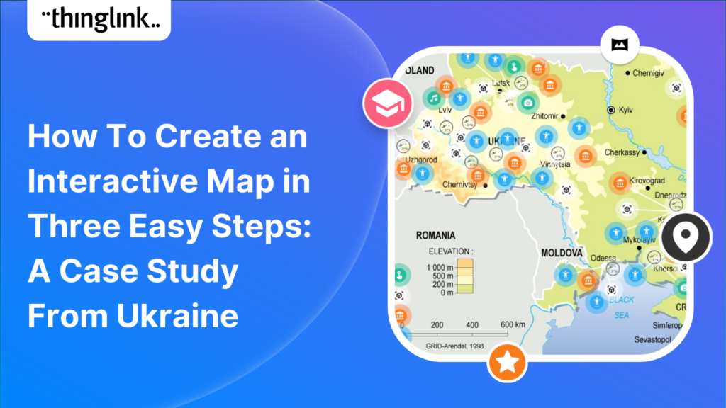
Educator Stephanie Woessner helped 17 schools in Ukraine to create an interactive ThingLink map together online. ThingLink spoke to her to hear how it was created,...

Kyla Ball 5 min read
Featured picture of post "Update for Online Courses with Workplace Simulations and Virtual Tours"

Update for Online Courses with Workplace Simulations and Virtual Tours

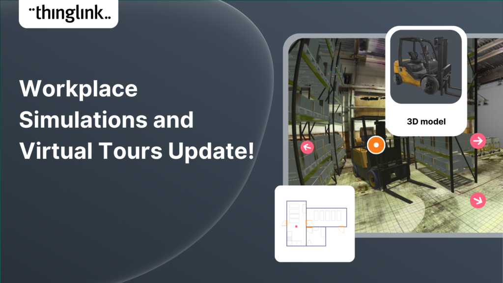
Increase the effectiveness of your online training with multimedia interactive simulations and virtual tours. eLearning course content creation is easy with ThingLink!...

Louise Jones 3 min read
Featured picture of post "Adding Floor Plans or Mini Maps to your Virtual Tours"

Adding Floor Plans or Mini Maps to your Virtual Tours

Your viewers won't get lost with this brilliant new virtual tour feature from ThingLink! Our latest ThingLink update enables you to add a floor plan or 'mini...

Louise Jones 3 min read
Featured picture of post "Six Examples of Interactive Maps"

Six Examples of Interactive Maps

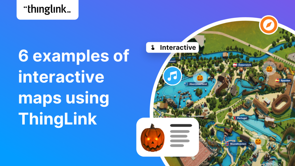
Some inspiring examples of interactive maps created by ThingLink users. Thanks to mobile apps like Google maps, we are now all used to using maps every day that...

Kyla Ball 4 min read
Featured picture of post "How do you Create Interactive Maps?"

How do you Create Interactive Maps?

"There are those who follow maps, and those who make them." Alberto Villoldo  How to create interactive maps You don't need to invest in an expensive...

Kyla Ball 3 min read
Featured picture of post "Wilhelmsen Keeps Global Shipping Moving with an Interactive Map"

Wilhelmsen Keeps Global Shipping Moving with an Interactive Map

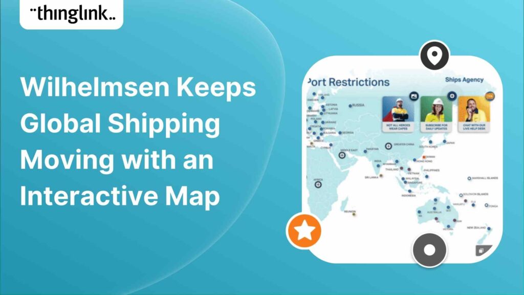
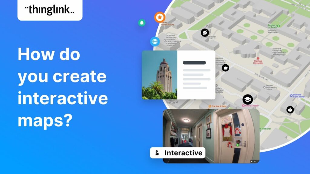
Wilhelmsen is a global maritime industry group, employing more than 21 000 people across 75 nations. The Wilhelmsen group operates the largest maritime network ...

Louise Jones 4 min read

Posts navigation

1 2 Next

Create unique experiences with ThingLink! It's easier than you think! Start now
ThingLink logo
Terms of use Privacy policy Help center Contact us Blog in Finnish
Facebook logo Twitter logo YouTube logo Instagram logo